


 |
Day 16 | Home again... briefly... |
      |
|
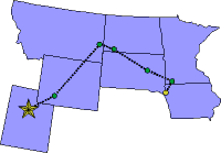
Date:      Saturday, August 2, 1997
States:    IA, MN, SD, ND, MT, WY, UT
Weather:   Fog! burning to clear, then
           bumpy under the cumulus as
           we fly westward
Altitude:  6,00 - 10,500 ft MSL
Dep Time:  9:55am CDT (1455 UTC)
Arr Time:  5:56pm MDT (2356 UTC)
Airtime:   7 hr 50 min
Distance:  985 nm
Avg Speed: 126 kts
Fuel Burn: 98 gal
|
|
Whew! What a long day! We knew that it would be; we had decided to get all the way to Utah today. As we had planned, we left for the airport at 6:30am, with two other couples flying private planes, as it turns out. Well, there was fog so thick you couldn't see across the street! We all groaned and piled out of the van into the FBO. I called FSS and found that the fog also reached to our next destination, Worthington, Minnesota (OTG). The fog was expected to dissipate only as the day warmed up. We didn't want to launch in zero/zero conditions anyway. I checked in with FSS every 30 minutes and by 9am we had sudden improvement at Sioux City and at Worthington, Minnesota, so we all piled into our planes and went our various ways. One fellow Mooney pilot had experienced a real scare the night before while on final when a F-16 blew by for a photo shoot. He filed a complaint with the tower supervisor and he was still stinging from the unexpected appearance of an F-16 at 300 knots within a couple of hundred feet. Imagine the fright that they got! |
||
|
Anyway, we took off and climbed immediately out of the fog. It was only a few hundred feet thick. We flew over the fog layer all the way to Worthington, which was clear when we arrived. We landed and taxied in. I kept the engine running while Bill ran the envelope in with $5. We took off for Huron, South Dakota (HON). |
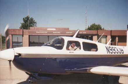 Worthington, MN
|
|
|
The flight to Huron was smooth and mostly clear with just a few remaining patches of fog below. When we arrived we had 10 miles of visibility and clear skies. We decided to stop and take fuel, and I filed IFR for Baker, MT since FSS was calling for convective activity in the vicinity. I figured that if we got to Hettinger, North Dakota (HEI) without any trouble we would cancel and land there, putting North Dakota in our adventure log. Well, we launched and that's exactly what happened. We got to Hettinger, with clouds and rain and lightning up ahead toward Baker, so we canceled and landed. |
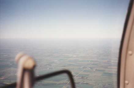 South Dakota farm land
|
|
|
|
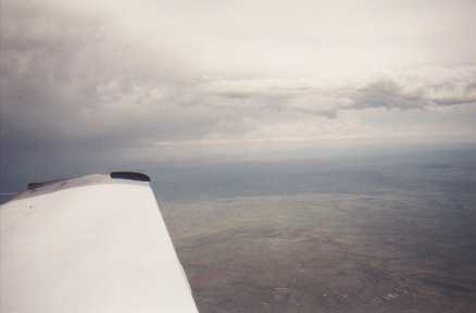 Baker, MT
|
|
|
We were blessed with a break in the boredom, however, when at first a Virgin Airways plane checked in with center, then a moment later, another Virgin Airways flight did the same. At this point the first Virgin pilot asked the second to switch to a private frequency. Well, Bill being sharp as a tack, tuned our second radio in to eavesdrop. Imagine this... Here we are over the Middle-of-Nowhere, Wyoming with two Virgin pilots chatting in their 'King's English'! One was bound for Phoenix, the other to Los Angeles. And both had launched from London. No wonder they wanted a chat! |
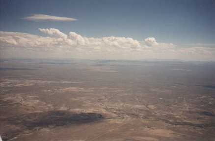 The desolation of central Wyoming
|
|
|
On the way home from the airport we made arrangements for the engine oil change and airplane wash on Monday. Now, it's just six states: WA, OR, ID and CA, NV, AZ. We'll do them on two separate day trips. |
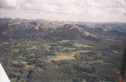
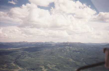 The beautiful Uinta Range in Utah
|
   |
||
| Copyright © 1998 by Jared Blaser. All rights reserved. |